Ecological Monitoring of the Rota Vicentina Walking Trails (Part 2)
4 minutos de leituraThe Challenge of Alternative Trails
One of the impacts that was anticipated, as observed in walking routes worldwide, is the proliferation of alternative trails.
This means that people leave the marked trail and create (or emphasize) other paths. Why? Typically, to shorten the route, to avoid difficult terrain, because they cannot identify the official trail, or to reach a point of interest, such as the top of a cliff.
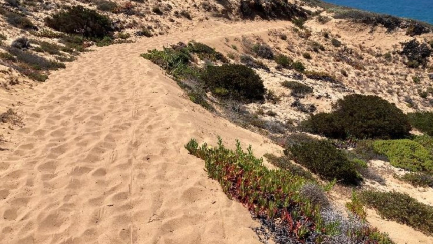
The increase in alternative trails was observed in some sampled segments, particularly in the Malhão area and Cabo de São Vicente. Not all alternative trails can be attributed to Rota Vicentina walkers, as these two locations are frequently visited by other users. However, one aspect became clear: walkers tend to leave the marked trail more often in areas where vegetation is less dense, with many clearings. Rarely is an alternative trail found in locations with good vegetation coverage.
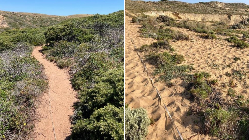
When vegetation is dense, walkers tend to stay on the trail (left), whereas in areas with many clearings, they tend to spread out (right)
A situation where walkers are clearly responsible for creating an alternative trail occurs when a walking path is opened alongside a route used by off-road vehicles, with loose and deep sand. To avoid this challenging terrain, walkers tend to follow a path beside the main route.
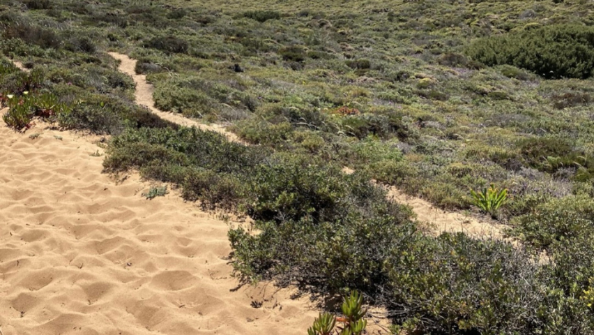
Walking trail alongside a sandy dirt road
There is also good news: trails close to those of Rota Vicentina have been found, and since 2013, they have been closing. In other words, dispersed trails that existed before the Rota Vicentina project began are no longer being used, and vegetation is reclaiming these areas. This outcome demonstrates that, in many locations, the impact of foot traffic has been successfully confined to the designated trail rather than spreading across the terrain. This aligns with a general goal of trail planning in natural areas: to manage people’s access, limiting the impact to a narrow line with minimal significance for the ecosystem, instead of spreading disturbance across the landscape.
Trail no longer in use and gradually closing since 2013
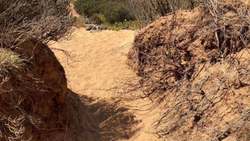
Another anticipated impact mentioned in the 2013 study was trail degradation, which could manifest, for example, through increased depth and width of the trail or soil erosion on or around the trail.
The width of the trails has increased in almost all sampled locations, but it is more pronounced in areas with less dense vegetation. Trail deepening and erosion occur mainly in locations with some slope, dry soils of loose sand, and low vegetation cover. This combination of factors also promotes the deepening of the trail and the movement of sand to lower levels.
Exposed roots reveal the deepening of the trail
On sloped terrain, some sand slides to lower levels
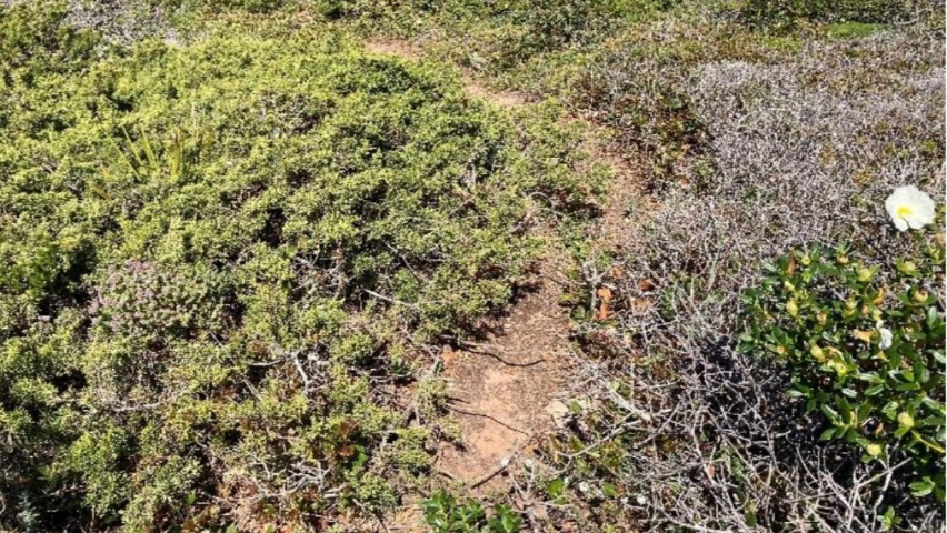
In general, when dune vegetation has good coverage and the terrain is flatter, the trail is well-preserved, with no signs of erosion or trampling outside the designated path.
This lack of impact was also observed on the trails of the Historical Waywhich pass through areas of scrubland, forest, agroforestry, or riparian zones. The more compacted soil and the protection provided by vegetation keep the trails in good condition, with no significant changes over the past 10 years.
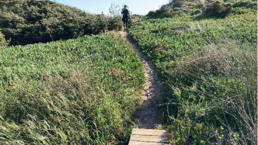
When vegetation is dense, the trail is well-preserved
Another anticipated but less observed impact was the increase in marks left by users, such as litter, traces of campfires, or signs of activity on vegetation (e.g., picnics, camping, etc.). The only marks observed were litter, but its increase compared to 2013 was noted only in areas with higher levels of usage, such as fishing, shellfishing, or near illegal caravan camping spots. Therefore, it is difficult to attribute these marks to walkers, as no such traces were found in the more inaccessible trail segments.
Biologist, Master’s degree in Conservation Biology, teacher at the Secundary School of Odemira. She has has been living in the municipality Odemira since 1987. Her main interests are the knowledge, dissemination and preservation of the natural values of southwest Portugal. She has participated in numerous environmental studies, ecological monitoring works and natural values mapping. She […]
Our suggestions
Search by category
